California State Route 140, also known as the Central Yosemite Highway, is one of the primary scenic entry routes into Yosemite National Park. Following the Merced River Canyon through Mariposa and El Portal, it enters the park via the Arch Rock Entrance Station. Known as the lowest-elevation approach to Yosemite Valley, CA-140 provides a reliable route for travelers year-round.
Expert notes
- Drive carefully and watch for wildlife crossing the road.
- Plan for possible delays during peak tourist seasons.
- Check weather conditions before your trip, especially in winter.
- Use designated pullouts to stop for photos and enjoy the scenery.
- Stay hydrated and bring snacks for the journey.
- Ensure your vehicle is in good condition for mountain driving.
- Consider visiting at sunrise or sunset for stunning light.
- Keep an eye on gas stations, as they can be sparse in the area.
- Download maps ahead of time; cell service may be limited.
- Respect park rules and regulations when stopping along the route.
Features
- Access to hiking trails
- Historical markers
- Information signs
- Natural beauty along the route
- Nearby picnic areas
- Parking areas
- Pullouts for photos
- Rest stops
- Scenic viewpoints
- Wildlife observation areas
More things to do in Yosemite National Park
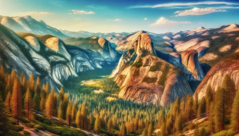 North DomeFree
An iconic granite formation offering breathtaking panoramic views of Half Dome
 Bridalveil Falls TrailheadFree
Gateway to Yosemite's iconic 617-foot roaring waterfall hike
 Camp Wawona$
Experience Nature at Wawona Campground
 Sentinel DomeFree
Breathtaking 360 degree panoramic views of Yosemite Valley and iconic landmarks
 Yosemite Valley ChapelFree
Historic 1870s wooden chapel offering scenic views of Yosemite Valley
 Badger Pass$$
Historic family friendly ski resort offering winter recreation in Yosemite